 vesseltracker.com
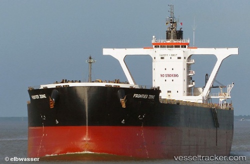
Live AIS position:
19.69487° S, 118.42486° E UTC. 37 nm N of Port Hedland),
updated 2025-11-21 06:21:28 UTC.
Find the position of the vessel Frontier Zone on the map. The latter are known coordinates and path.
marine traffic ship tracker show on live map
The current position of vessel Frontier Zone is -19.69487 lat / 118.42486 lng. Updated: 2025-11-21 06:21:28 UTCDetails:
Last coordinates of the vessel:
UTC, -20.07898, 118.42923, course: 306, speed: 10.6UTC, -19.98097, 118.44399, course: 29, speed: 10.8
UTC, -19.75793, 118.43978, course: 350, speed: 11.6
2025-11-21 06:21:28 UTC, -19.69487, 118.42486, course: 349, speed: 11.6