 vesseltracker.com
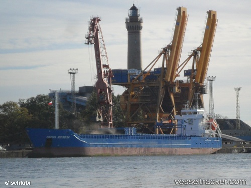
Vessel Costamar IMO: 9552020, MMSI: 255805989 Multi Purpose Carrier
UTC, 61.31580, 19.45520, course: 11, speed: 10.1
UTC, 61.31580, 19.45520, course: 11, speed: 10.1
2026-01-16 07:33:44 UTC, 61.69769, 19.62164, course: 12, speed: 10.2
Live AIS position:
UTC. 51 nm W of Tahkoluoto),
updated 2026-01-16 07:33:44 UTC.
Find the position of the vessel Costamar on the map. The latter are known coordinates and path.
marine traffic ship tracker show on live map
The current position of vessel Costamar is 61.69769 lat / 19.62164 lng. Updated: 2026-01-16 07:33:44 UTCDetails:
Last coordinates of the vessel:
UTC, 60.65790, 19.14214, course: 12, speed: 10UTC, 61.31580, 19.45520, course: 11, speed: 10.1
UTC, 61.31580, 19.45520, course: 11, speed: 10.1
2026-01-16 07:33:44 UTC, 61.69769, 19.62164, course: 12, speed: 10.2