 vesseltracker.com
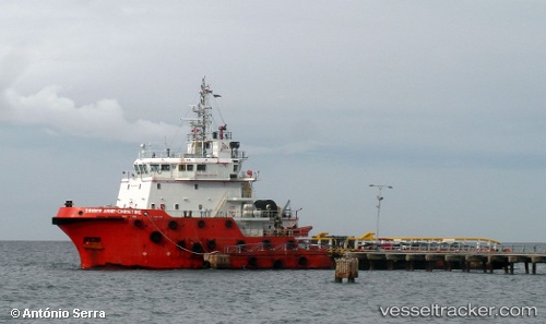
Find the position of the vessel Bridgewater 131 on the map. The latter are known coordinates and path.
marine traffic ship tracker show on live map
The current position of vessel Bridgewater 131 is 12.628318333333 lat / 100.91460666667 lng. Updated: 2025-11-06 01:42:20 UTCDetails:
Last coordinates of the vessel:
UTC, 12.458016666667, 100.86441166667, course: 15, speed: 6.9UTC, 12.57585, 100.89945166667, course: 15, speed: 6.7
UTC, 12.628303333333, 100.91462, course: 95, speed: 0
2025-11-06 01:42:20 UTC, 12.628318333333, 100.91460666667, course: 95, speed: 0