 vesseltracker.com
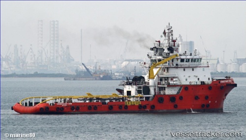
Find the position of the vessel 'BRIDGEWATER 132' on the map. The latter are known coordinates and path.
marine traffic ship tracker show on live map
The current position of vessel 'BRIDGEWATER 132' is 1.3000516666667 lat / 103.75663833333 lng. Updated: 2025-11-03 05:01:37 UTCDetails:
Last coordinates of the vessel:
UTC, 1.3000033333333, 103.75664833333, course: 321, speed: 0UTC, 1.3000166666667, 103.75664666667, course: 322, speed: 0
UTC, 1.3000483333333, 103.75662333333, course: 321, speed: 0
2025-11-03 05:01:37 UTC, 1.3000516666667, 103.75663833333, course: 321, speed: 0