 vesseltracker.com
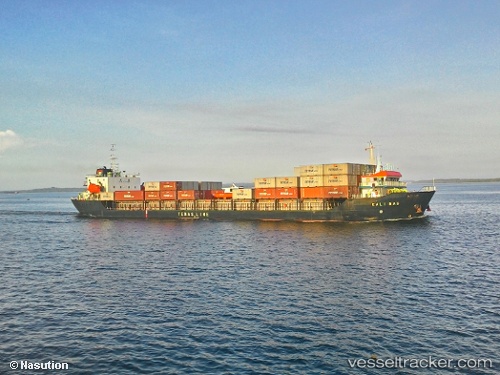
Find the position of the vessel Mv.kali Mas on the map. The latter are known coordinates and path.
marine traffic ship tracker show on live map
The current position of vessel Mv.kali Mas is -4.4634816666667 lat / 115.86817 lng. Updated: 2025-11-04 08:09:55 UTCDetails:
Last coordinates of the vessel:
UTC, -4.3765516666667, 115.99077333333, course: -1, speed: 6.9UTC, -4.415405, 115.935275, course: -1, speed: 7.1
UTC, -4.4634816666667, 115.86817, course: -1, speed: 7.2
2025-11-04 08:09:55 UTC, -4.4634816666667, 115.86817, course: -1, speed: 7.2