 vesseltracker.com
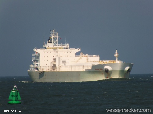
Find the position of the vessel Orange Star on the map. The latter are known coordinates and path.
marine traffic ship tracker show on live map
The current position of vessel Orange Star is 31.8846 lat / -56.0271 lng. Updated: 2025-07-18 14:07:15 UTCCurrently sailing under the flag of Liberia
Orange Star built in 2011 year
Deadweight:
36994 tDetails:
Last coordinates of the vessel:
UTC, 32.0994, -55.303, course: 250, speed: 13.2UTC, 32.0994, -55.303, course: 250, speed: 13.2
UTC, 32.0994, -55.303, course: 250, speed: 13.2
2025-07-18 14:07:15 UTC, 31.8846, -56.0271, course: 248, speed: 12.9