 vesseltracker.com
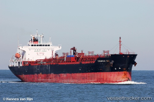
Find the position of the vessel Chemroad Sea on the map. The latter are known coordinates and path.
marine traffic ship tracker show on live map
The current position of vessel Chemroad Sea is -30.82711 lat / -18.01559 lng. Updated: 2025-11-06 13:49:24 UTCCurrently sailing under the flag of Panama
Chemroad Sea built in 2011 year
Deadweight:
33560 tDetails:
Last coordinates of the vessel:
UTC, -30.68750, -18.81112, course: 100, speed: 13.2UTC, -30.73155, -18.53923, course: 100, speed: 13.4
UTC, -30.76483, -18.35488, course: 102, speed: 13.6
2025-11-06 13:49:24 UTC, -30.82711, -18.01559, course: 102, speed: 13.7