 vesseltracker.com
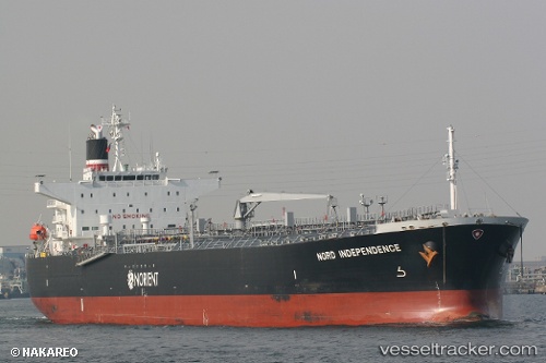
Vessel '533132115' IMO: 9568043, MMSI: 533132115
UTC, 4.09900, 110.72183, course: 242, speed: 12.5
UTC, 3.99707, 110.51033, course: 242, speed: 12.5
2026-01-17 23:51:25 UTC, 3.92814, 110.36725, course: 242, speed: 12.5
Live AIS position:
UTC. 99 nm NW of Pulau Bruit),
updated 2026-01-17 23:51:25 UTC.
Find the position of the vessel '533132115' on the map. The latter are known coordinates and path.
marine traffic ship tracker show on live map
The current position of vessel '533132115' is 3.92814 lat / 110.36725 lng. Updated: 2026-01-17 23:51:25 UTCDetails:
Last coordinates of the vessel:
UTC, 4.18550, 110.90171, course: 244, speed: 12.5UTC, 4.09900, 110.72183, course: 242, speed: 12.5
UTC, 3.99707, 110.51033, course: 242, speed: 12.5
2026-01-17 23:51:25 UTC, 3.92814, 110.36725, course: 242, speed: 12.5