 vesseltracker.com
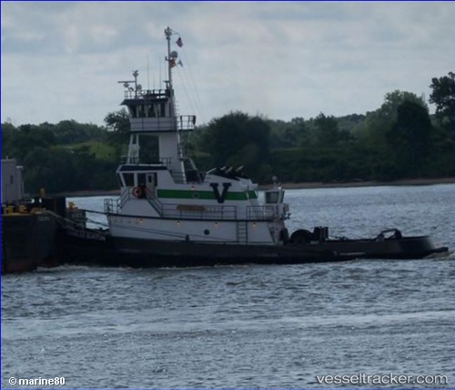
Vessel Charles Burton IMO: 9569449, MMSI: 367428270 Pusher Tug
UTC, 40.53925, -74.25231, course: 177, speed: 0
UTC, 40.53840, -74.25353, course: 179, speed: 0
2026-01-17 11:23:56 UTC, 40.53838, -74.25357, course: 179, speed: 0
Live AIS position:
UTC. Near Tottenville, Staten Island),
updated 2026-01-17 11:23:56 UTC.
Find the position of the vessel Charles Burton on the map. The latter are known coordinates and path.
marine traffic ship tracker show on live map
The current position of vessel Charles Burton is 40.53838 lat / -74.25357 lng. Updated: 2026-01-17 11:23:56 UTCDetails:
Last coordinates of the vessel:
UTC, 40.53923, -74.25233, course: 178, speed: 0UTC, 40.53925, -74.25231, course: 177, speed: 0
UTC, 40.53840, -74.25353, course: 179, speed: 0
2026-01-17 11:23:56 UTC, 40.53838, -74.25357, course: 179, speed: 0