 vesseltracker.com
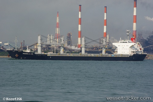
Find the position of the vessel Magnolia on the map. The latter are known coordinates and path.
marine traffic ship tracker show on live map
The current position of vessel Magnolia is 33.190108333333 lat / -8.70341 lng. Updated: 2025-09-19 04:23:22 UTCCurrently sailing under the flag of Marshall Is
Magnolia built in 2010 year
Deadweight:
28389 tDetails:
Last coordinates of the vessel:
UTC, 33.190145, -8.7026233333333, course: 4, speed: 0.3UTC, 33.190135, -8.7028033333333, course: 13, speed: 0.3
UTC, 33.19053, -8.704255, course: 46, speed: 0.3
2025-09-19 04:23:22 UTC, 33.190108333333, -8.70341, course: 12, speed: 0.7