 vesseltracker.com
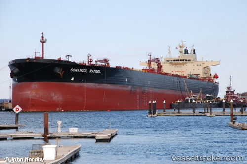
Vessel Sonangol Rangel IMO: 9575541, MMSI: 311069200 Lng Tanker
UTC, -22.02667, -9.54000, course: -1, speed: 11
UTC, -22.23512, -9.20429, course: 124, speed: 10.3
2026-01-16 15:20:11 UTC, -22.24833, -9.18333, course: -1, speed: 10
Live AIS position:
UTC. Open sea, approx. 428 nm off the nearest listed port),
updated 2026-01-16 15:20:11 UTC.
Find the position of the vessel Sonangol Rangel on the map. The latter are known coordinates and path.
marine traffic ship tracker show on live map
The current position of vessel Sonangol Rangel is -22.24833 lat / -9.18333 lng. Updated: 2026-01-16 15:20:11 UTCCurrently sailing under the flag of Bahamas
Sonangol Rangel built in 2011 year
Deadweight:
157755 tDetails:
Last coordinates of the vessel:
UTC, -22.02667, -9.54000, course: -1, speed: 11UTC, -22.02667, -9.54000, course: -1, speed: 11
UTC, -22.23512, -9.20429, course: 124, speed: 10.3
2026-01-16 15:20:11 UTC, -22.24833, -9.18333, course: -1, speed: 10