 vesseltracker.com
Live AIS position:
5.85540° N, 89.86164° E UTC. 232 nm E of Abakaliki),
updated 2025-11-19 20:22:22 UTC.
Find the position of the vessel Wish Way on the map. The latter are known coordinates and path.
marine traffic ship tracker show on live map
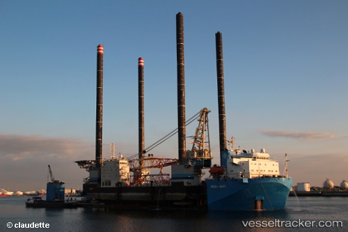
The current position of vessel Wish Way is 5.85540 lat / 89.86164 lng. Updated: 2025-11-19 20:22:22 UTCCurrently sailing under the flag of Panama
Wish Way built in 2010 year
Deadweight:
21243 tDetails:
Last coordinates of the vessel:
UTC, 5.85766, 90.27157, course: 269, speed: 11.3UTC, 5.85532, 90.18289, course: 270, speed: 11.1
UTC, 5.85480, 90.04494, course: 270, speed: 10.8
2025-11-19 20:22:22 UTC, 5.85540, 89.86164, course: 270, speed: 11.2
The ship also appears on the maps: