 vesseltracker.com
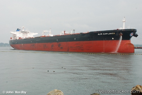
Vessel Almi Explorer IMO: 9579547, MMSI: 636015879 Crude Oil Tanker
UTC, 26.39776, -73.18063, course: 268, speed: 11.4
UTC, 26.33904, -73.55195, course: 262, speed: 13.4
2026-01-16 16:58:32 UTC, 26.25135, -74.07469, course: 264, speed: 14.1
Live AIS position:
UTC. 131 nm NE of Arthur's Town, Cat Island),
updated 2026-01-16 16:58:32 UTC.
Find the position of the vessel Almi Explorer on the map. The latter are known coordinates and path.
marine traffic ship tracker show on live map
The current position of vessel Almi Explorer is 26.25135 lat / -74.07469 lng. Updated: 2026-01-16 16:58:32 UTCDetails:
Last coordinates of the vessel:
UTC, 26.39776, -73.18063, course: 268, speed: 11.4UTC, 26.39776, -73.18063, course: 268, speed: 11.4
UTC, 26.33904, -73.55195, course: 262, speed: 13.4
2026-01-16 16:58:32 UTC, 26.25135, -74.07469, course: 264, speed: 14.1