 vesseltracker.com
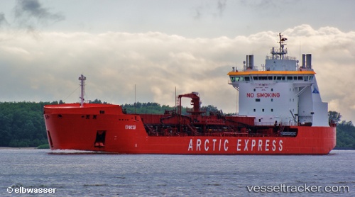
Find the position of the vessel ENISEY on the map. The latter are known coordinates and path.
marine traffic ship tracker show on live map
The current position of vessel ENISEY is 69.42833 lat / 86.13333 lng. Updated: 2025-10-07 12:50:22 UTCCurrently sailing under the flag of Russia
ENISEY built in 2011 year
Deadweight:
18902 tDetails:
Last coordinates of the vessel:
UTC, 69.42833, 86.13333, course: -1, speed: 0UTC, 69.42833, 86.13333, course: -1, speed: 0
UTC, 69.42833, 86.13333, course: -1, speed: 0
2025-10-07 12:50:22 UTC, 69.42833, 86.13333, course: -1, speed: 0