 vesseltracker.com
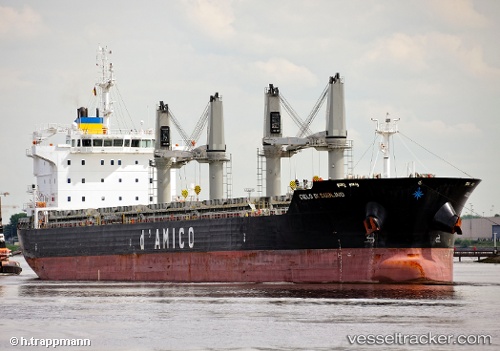
Find the position of the vessel Blue One on the map. The latter are known coordinates and path.
marine traffic ship tracker show on live map
The current position of vessel Blue One is 47.64206 lat / -132.90027 lng. Updated: 2025-11-04 23:38:14 UTCCurrently sailing under the flag of Liberia
Details:
Last coordinates of the vessel:
UTC, 47.44572, -132.34116, course: 287, speed: 10.5UTC, 47.48143, -132.47630, course: 291, speed: 10.4
UTC, 47.59908, -132.79636, course: 301, speed: 10.6
2025-11-04 23:38:14 UTC, 47.64206, -132.90027, course: 302, speed: 11
The ship also appears on the maps: