 vesseltracker.com
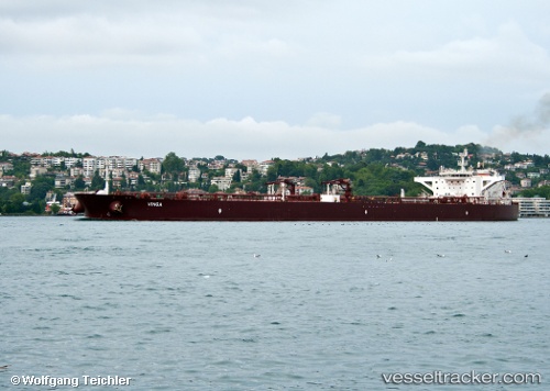
Vessel SEABLISS IMO: 9587207, MMSI: 256256000 Crude Oil Tanker
UTC, 41.74733, 40.73601, course: 191, speed: 8.8
UTC, 41.62182, 40.69945, course: 16, speed: 1.6
2026-01-15 08:25:07 UTC, 41.67994, 40.69940, course: 276, speed: 1.1
Live AIS position:
UTC. 32 nm N of Pazar),
updated 2026-01-15 08:25:07 UTC.
Find the position of the vessel SEABLISS on the map. The latter are known coordinates and path.
marine traffic ship tracker show on live map
The current position of vessel SEABLISS is 41.67994 lat / 40.69940 lng. Updated: 2026-01-15 08:25:07 UTCCurrently sailing under the flag of Malta
SEABLISS built in 2012 year
Deadweight:
158982 tDetails:
Last coordinates of the vessel:
UTC, 41.74960, 40.74238, course: 322, speed: 1.2UTC, 41.74733, 40.73601, course: 191, speed: 8.8
UTC, 41.62182, 40.69945, course: 16, speed: 1.6
2026-01-15 08:25:07 UTC, 41.67994, 40.69940, course: 276, speed: 1.1