 vesseltracker.com
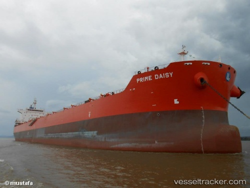
Find the position of the vessel Golden Daisy on the map. The latter are known coordinates and path.
marine traffic ship tracker show on live map
The current position of vessel Golden Daisy is 25.178333333333 lat / 137.94166666667 lng. Updated: 2025-11-04 08:17:13 UTCCurrently sailing under the flag of Marshall Is
Golden Daisy built in 2012 year
Deadweight:
81507 tDetails:
Last coordinates of the vessel:
UTC, 24.74146, 138.08403833333, course: 346, speed: 9.1UTC, 24.983333333333, 138.00666666667, course: -1, speed: 9
UTC, 25.148333333333, 137.95333333333, course: -1, speed: 9
2025-11-04 08:17:13 UTC, 25.178333333333, 137.94166666667, course: -1, speed: 9