 vesseltracker.com
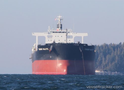
Find the position of the vessel POWER LOONG on the map. The latter are known coordinates and path.
marine traffic ship tracker show on live map
The current position of vessel POWER LOONG is -6.25290 lat / 103.34354 lng. Updated: 2025-10-18 02:31:58 UTCCurrently sailing under the flag of Panama
POWER LOONG built in 2011 year
Deadweight:
95695 tDetails:
Last coordinates of the vessel:
UTC, -6.48814, 103.86728, course: 300, speed: 12.9UTC, -6.39279, 103.65695, course: 301, speed: 12.7
UTC, -6.39279, 103.65695, course: 301, speed: 12.7
2025-10-18 02:31:58 UTC, -6.25290, 103.34354, course: 298, speed: 12.6