 vesseltracker.com
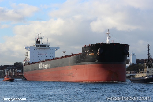
Vessel Ck Angie IMO: 9595864, MMSI: 441824000 Bulk Carrier
UTC, -10.91946, 73.54891, course: 52, speed: 10.6
UTC, -10.77667, 73.75167, course: -1, speed: 10
2026-01-16 13:50:39 UTC, -10.69474, 73.85858, course: 50, speed: 10.5
Live AIS position:
UTC. 219 nm S of Diego Garcia),
updated 2026-01-16 13:50:39 UTC.
Find the position of the vessel Ck Angie on the map. The latter are known coordinates and path.
marine traffic ship tracker show on live map
The current position of vessel Ck Angie is -10.69474 lat / 73.85858 lng. Updated: 2026-01-16 13:50:39 UTCDetails:
Last coordinates of the vessel:
UTC, -11.14111, 73.18653, course: 50, speed: 10.6UTC, -10.91946, 73.54891, course: 52, speed: 10.6
UTC, -10.77667, 73.75167, course: -1, speed: 10
2026-01-16 13:50:39 UTC, -10.69474, 73.85858, course: 50, speed: 10.5