 vesseltracker.com
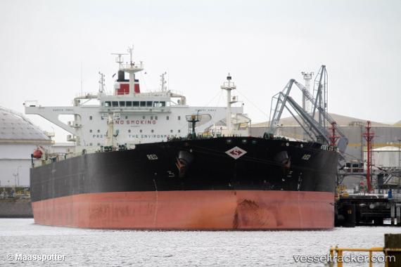
Vessel Red IMO: 9596973, MMSI: 538004029 Crude Oil Tanker
UTC, 8.19498, -57.00697, course: 89, speed: 0.2
UTC, 8.19510, -57.00694, course: 94, speed: 0.1
2026-01-16 13:30:26 UTC, 8.19508, -57.00694, course: 93, speed: 0.1
Live AIS position:
UTC. 104 nm NE of Enmore),
updated 2026-01-16 13:30:26 UTC.
Find the position of the vessel Red on the map. The latter are known coordinates and path.
marine traffic ship tracker show on live map
The current position of vessel Red is 8.19508 lat / -57.00694 lng. Updated: 2026-01-16 13:30:26 UTCCurrently sailing under the flag of Marshall Is
Red built in 2012 year
Deadweight:
159068 tDetails:
Last coordinates of the vessel:
UTC, 8.19516, -57.00701, course: 92, speed: 0.1UTC, 8.19498, -57.00697, course: 89, speed: 0.2
UTC, 8.19510, -57.00694, course: 94, speed: 0.1
2026-01-16 13:30:26 UTC, 8.19508, -57.00694, course: 93, speed: 0.1