 vesseltracker.com
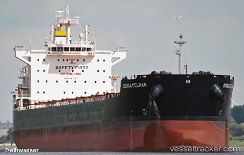
Vessel Stardust IMO: 9597757, MMSI: 538007443 Bulk Carrier
UTC, -36.25802, -12.04826, course: 103, speed: 11.2
UTC, -36.27815, -11.93467, course: 100, speed: 11.7
2026-01-18 16:57:07 UTC, -36.31167, -11.71442, course: 101, speed: 11.6
Live AIS position:
UTC. 325 nm NW of Ramalde),
updated 2026-01-18 16:57:07 UTC.
Find the position of the vessel Stardust on the map. The latter are known coordinates and path.
marine traffic ship tracker show on live map
The current position of vessel Stardust is -36.31167 lat / -11.71442 lng. Updated: 2026-01-18 16:57:07 UTCDetails:
Last coordinates of the vessel:
UTC, -36.20634, -12.38295, course: 101, speed: 11UTC, -36.25802, -12.04826, course: 103, speed: 11.2
UTC, -36.27815, -11.93467, course: 100, speed: 11.7
2026-01-18 16:57:07 UTC, -36.31167, -11.71442, course: 101, speed: 11.6