 vesseltracker.com
Find the position of the vessel HONG G on the map. The latter are known coordinates and path.
marine traffic ship tracker show on live map
The current position of vessel HONG G is 37.9408 lat / -9.61878 lng. Updated: 2025-06-07 06:45:47 UTCCurrently sailing under the flag of Liberia
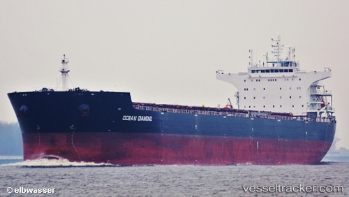
HONG G built in 2012 year
Deadweight:
93025 tPayload_mass:
93025 tonneGross tonnage:
51209Service entry:
2012-01-01T00:00:00ZDetails:
Last coordinates of the vessel:
UTC, 37.3508, -9.44744, course: 347, speed: 11.2UTC, 37.548, -9.50656, course: 347, speed: 11.5
UTC, 37.7878, -9.57598, course: 347, speed: 11.7
2025-06-07 06:45:47 UTC, 37.9408, -9.61878, course: 345, speed: 12