 vesseltracker.com
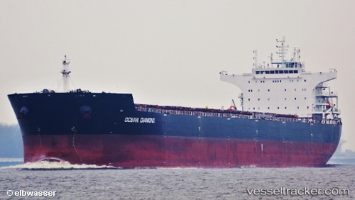
Find the position of the vessel HONG G on the map. The latter are known coordinates and path.
marine traffic ship tracker show on live map
The current position of vessel HONG G is 16.5445 lat / 67.7741 lng. Updated: 2025-07-18 19:27:25 UTCCurrently sailing under the flag of Liberia
HONG G built in 2012 year
Deadweight:
93025 tDetails:
Last coordinates of the vessel:
UTC, 16.4635, 67.2591, course: 81, speed: 10.9UTC, 16.4767, 67.3547, course: 80, speed: 11
UTC, 16.5287, 67.6791, course: 78, speed: 10.8
2025-07-18 19:27:25 UTC, 16.5445, 67.7741, course: 79, speed: 10.9