 vesseltracker.com
Find the position of the vessel Baie St.paul on the map. The latter are known coordinates and path.
marine traffic ship tracker show on live map
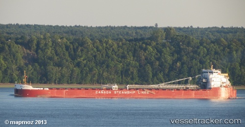
The current position of vessel Baie St.paul is 43.91735 lat / -82.34170 lng. Updated: 2025-11-07 00:53:30 UTCCurrently sailing under the flag of Canada
Baie St.paul built in 2012 year
Deadweight:
37690 tDetails:
Last coordinates of the vessel:
UTC, 43.28290, -82.28349, course: 28, speed: 12.4UTC, 43.42890, -82.24604, course: 355, speed: 12.6
UTC, 43.78027, -82.31233, course: 351, speed: 12.6
2025-11-07 00:53:30 UTC, 43.91735, -82.34170, course: 351, speed: 12.7