 vesseltracker.com
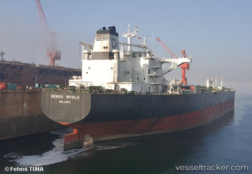
Vessel SEAMAJESTY IMO: 9601223, MMSI: 229708000 Crude Oil Tanker
UTC, 40.94584, 28.73019, course: 339, speed: 0
UTC, 40.94559, 28.72958, course: 353, speed: 0
2026-01-18 13:49:52 UTC, 40.94587, 28.73025, course: 4, speed: 0.2
Live AIS position:
UTC. Near Ambarli),
updated 2026-01-18 13:49:52 UTC.
Find the position of the vessel SEAMAJESTY on the map. The latter are known coordinates and path.
marine traffic ship tracker show on live map
The current position of vessel SEAMAJESTY is 40.94587 lat / 28.73025 lng. Updated: 2026-01-18 13:49:52 UTCCurrently sailing under the flag of Malta
SEAMAJESTY built in 2012 year
Deadweight:
158322 tDetails:
Last coordinates of the vessel:
UTC, 40.94576, 28.73020, course: 338, speed: 0UTC, 40.94584, 28.73019, course: 339, speed: 0
UTC, 40.94559, 28.72958, course: 353, speed: 0
2026-01-18 13:49:52 UTC, 40.94587, 28.73025, course: 4, speed: 0.2