 vesseltracker.com
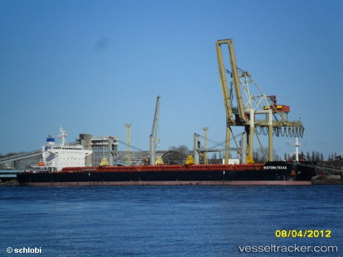
Find the position of the vessel Texas on the map. The latter are known coordinates and path.
marine traffic ship tracker show on live map
The current position of vessel Texas is 31.140515 lat / 29.801268333333 lng. Updated: 2025-11-05 18:24:59 UTCDetails:
Last coordinates of the vessel:
UTC, 31.140503333333, 29.801275, course: 31, speed: 0UTC, 31.140628333333, 29.801285, course: 31, speed: 0
UTC, 31.140498333333, 29.801225, course: 31, speed: 0
2025-11-05 18:24:59 UTC, 31.140515, 29.801268333333, course: 32, speed: 0