 vesseltracker.com
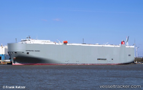
Find the position of the vessel Euphrates Highway on the map. The latter are known coordinates and path.
marine traffic ship tracker show on live map
The current position of vessel Euphrates Highway is 20.93544 lat / 146.40823 lng. Updated: 2025-11-18 07:26:14 UTCCurrently sailing under the flag of Panama
Euphrates Highway built in 2012 year
Deadweight:
18668 tDetails:
Last coordinates of the vessel:
UTC, 21.67451, 146.07161, course: 158, speed: 17.5UTC, 21.24638, 146.26932, course: 158, speed: 17.9
UTC, 21.17652, 146.30058, course: 158, speed: 17.8
2025-11-18 07:26:14 UTC, 20.93544, 146.40823, course: 158, speed: 17.9