 vesseltracker.com
Find the position of the vessel WEST AURIGA on the map. The latter are known coordinates and path.
marine traffic ship tracker show on live map
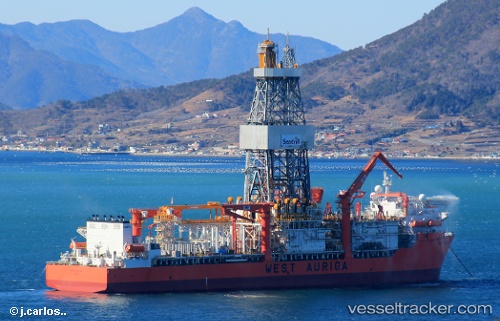
The current position of vessel WEST AURIGA is 20.17477798461914 lat / 60.58778381347656 lng. Updated: 2025-06-23 06:27:28 UTCCurrently sailing under the flag of Marshall Islands
WEST AURIGA built in 2013 year
Deadweight:
60554 tDetails:
Last coordinates of the vessel:
2025-06-23 06:27:28 UTC, 20.17477798461914, 60.58778381347656, course: 23, speed: 12.4