 vesseltracker.com
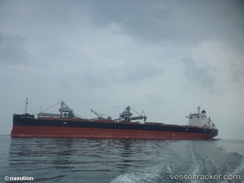
Live AIS position:
20.85097° S, 39.04094° E UTC. 216 nm SE of Quelimane),
updated 2025-11-20 09:27:16 UTC.
Find the position of the vessel Santa Emilia on the map. The latter are known coordinates and path.
marine traffic ship tracker show on live map
The current position of vessel Santa Emilia is -20.85097 lat / 39.04094 lng. Updated: 2025-11-20 09:27:16 UTCDetails:
Last coordinates of the vessel:
UTC, -21.29255, 38.70029, course: 37, speed: 10.8UTC, -21.04948, 38.88410, course: 40, speed: 10.5
UTC, -21.01403, 38.90978, course: 42, speed: 10.6
2025-11-20 09:27:16 UTC, -20.85097, 39.04094, course: 39, speed: 10.8