 vesseltracker.com
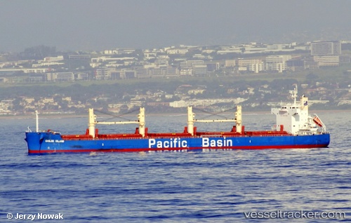
Vessel Chiloe Island IMO: 9610755, MMSI: 477752900 Bulk Carrier
UTC, 16.36846, -177.51884, course: 283, speed: 12.3
UTC, 16.39747, -177.63280, course: 282, speed: 12.2
2026-01-15 09:37:29 UTC, 16.45866, -177.86855, course: 283, speed: 12.5
Live AIS position:
UTC. Open sea, approx. 511 nm off the nearest listed port),
updated 2026-01-15 09:37:29 UTC.
Find the position of the vessel Chiloe Island on the map. The latter are known coordinates and path.
marine traffic ship tracker show on live map
The current position of vessel Chiloe Island is 16.45866 lat / -177.86855 lng. Updated: 2026-01-15 09:37:29 UTCDetails:
Last coordinates of the vessel:
UTC, 16.25227, -177.09789, course: 288, speed: 12.5UTC, 16.36846, -177.51884, course: 283, speed: 12.3
UTC, 16.39747, -177.63280, course: 282, speed: 12.2
2026-01-15 09:37:29 UTC, 16.45866, -177.86855, course: 283, speed: 12.5