 vesseltracker.com
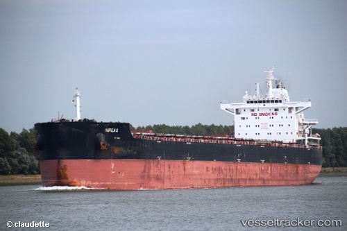
Vessel Nireas IMO: 9611905, MMSI: 636015498 Bulk Carrier
UTC, -9.40667, 75.91167, course: -1, speed: 10
UTC, -9.30667, 76.02833, course: -1, speed: 10
2026-01-18 03:57:38 UTC, -9.16917, 76.18948, course: 50, speed: 10.2
Live AIS position:
UTC. 248 nm SE of Diego Garcia),
updated 2026-01-18 03:57:38 UTC.
Find the position of the vessel Nireas on the map. The latter are known coordinates and path.
marine traffic ship tracker show on live map
The current position of vessel Nireas is -9.16917 lat / 76.18948 lng. Updated: 2026-01-18 03:57:38 UTCCurrently sailing under the flag of Liberia
Nireas built in 2012 year
Deadweight:
82067 tDetails:
Last coordinates of the vessel:
UTC, -9.63997, 75.63661, course: 50, speed: 10.6UTC, -9.40667, 75.91167, course: -1, speed: 10
UTC, -9.30667, 76.02833, course: -1, speed: 10
2026-01-18 03:57:38 UTC, -9.16917, 76.18948, course: 50, speed: 10.2