 vesseltracker.com
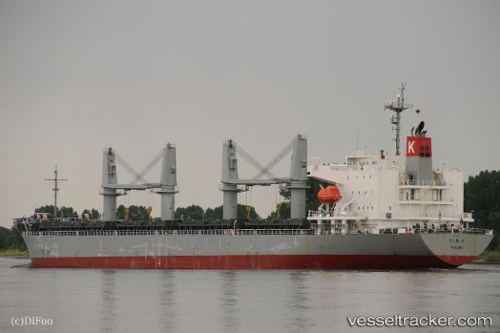
Vessel Elm K IMO: 9614294, MMSI: 373943000 General Cargo Ship
UTC, 26.63297, 126.26631, course: 230, speed: 11.4
UTC, 26.50372, 126.07320, course: 230, speed: 11.2
2026-01-18 08:15:59 UTC, 26.35683, 125.88519, course: 231, speed: 11.1
Live AIS position:
UTC. 45 nm W of Kumejima),
updated 2026-01-18 08:15:59 UTC.
Find the position of the vessel Elm K on the map. The latter are known coordinates and path.
marine traffic ship tracker show on live map
The current position of vessel Elm K is 26.35683 lat / 125.88519 lng. Updated: 2026-01-18 08:15:59 UTCDetails:
Last coordinates of the vessel:
UTC, 26.76902, 126.46179, course: 228, speed: 11.6UTC, 26.63297, 126.26631, course: 230, speed: 11.4
UTC, 26.50372, 126.07320, course: 230, speed: 11.2
2026-01-18 08:15:59 UTC, 26.35683, 125.88519, course: 231, speed: 11.1