 vesseltracker.com
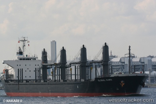
Vessel Daytona Beach IMO: 9615054, MMSI: 636017133 Bulk Carrier
UTC, -23.75525, 35.95963, course: 23, speed: 8.5
UTC, -23.62969, 36.03010, course: 20, speed: 8.5
2026-01-18 15:47:47 UTC, -23.50178, 36.09587, course: 20, speed: 8.6
Live AIS position:
UTC. 45 nm NE of Inhambane),
updated 2026-01-18 15:47:47 UTC.
Find the position of the vessel Daytona Beach on the map. The latter are known coordinates and path.
marine traffic ship tracker show on live map
The current position of vessel Daytona Beach is -23.50178 lat / 36.09587 lng. Updated: 2026-01-18 15:47:47 UTCCurrently sailing under the flag of Liberia
Daytona Beach built in 2012 year
Deadweight:
28233 tDetails:
Last coordinates of the vessel:
UTC, -24.03741, 35.77601, course: 19, speed: 7.5UTC, -23.75525, 35.95963, course: 23, speed: 8.5
UTC, -23.62969, 36.03010, course: 20, speed: 8.5
2026-01-18 15:47:47 UTC, -23.50178, 36.09587, course: 20, speed: 8.6