 vesseltracker.com
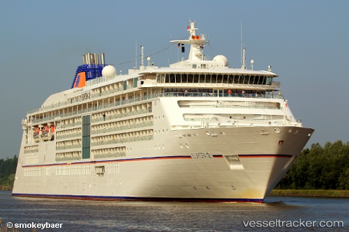
Find the position of the vessel Europa 2 on the map. The latter are known coordinates and path.
marine traffic ship tracker show on live map
The current position of vessel Europa 2 is 29.90037 lat / -11.17103 lng. Updated: 2025-11-06 03:44:01 UTCCurrently sailing under the flag of Malta
Europa 2 built in 2013 year
Deadweight:
5285 tDetails:
Last coordinates of the vessel:
UTC, 30.14667, -10.56500, course: -1, speed: 11UTC, 30.03500, -10.83910, course: 244, speed: 11.3
UTC, 29.94853, -11.05950, course: 244, speed: 11.8
2025-11-06 03:44:01 UTC, 29.90037, -11.17103, course: 243, speed: 11.6