 vesseltracker.com
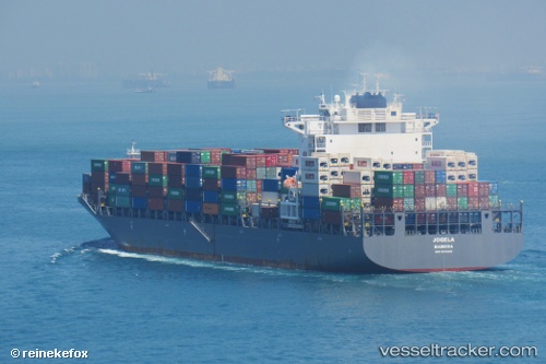
Vessel Emirates Asante IMO: 9619402, MMSI: 255805573 Container Ship
UTC, -0.17286, 105.74392, course: 140, speed: 14.1
UTC, -0.38945, 105.88851, course: 144, speed: 14
2026-01-18 15:24:36 UTC, -0.39546, 105.89223, course: 144, speed: 14
Live AIS position:
UTC. 81 nm E of Dabo, Singkep Isl),
updated 2026-01-18 15:24:36 UTC.
Find the position of the vessel Emirates Asante on the map. The latter are known coordinates and path.
marine traffic ship tracker show on live map
The current position of vessel Emirates Asante is -0.39546 lat / 105.89223 lng. Updated: 2026-01-18 15:24:36 UTCDetails:
Last coordinates of the vessel:
UTC, 0.21930, 105.48275, course: 149, speed: 14.1UTC, -0.17286, 105.74392, course: 140, speed: 14.1
UTC, -0.38945, 105.88851, course: 144, speed: 14
2026-01-18 15:24:36 UTC, -0.39546, 105.89223, course: 144, speed: 14