 vesseltracker.com
Find the position of the vessel Marie Maersk on the map. The latter are known coordinates and path.
marine traffic ship tracker show on live map
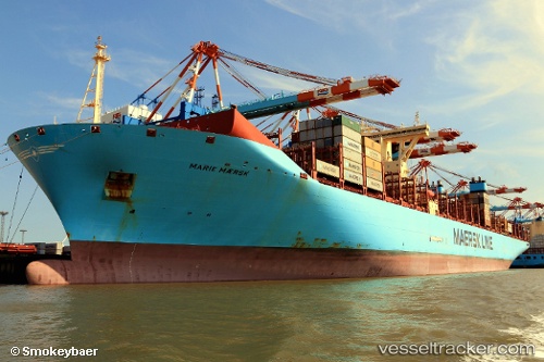
The current position of vessel Marie Maersk is 28.07332 lat / 122.55130 lng. Updated: 2025-11-07 14:20:11 UTCCurrently sailing under the flag of Denmark
Marie Maersk built in 2013 year
Deadweight:
194327 tDetails:
Last coordinates of the vessel:
UTC, 28.69457, 122.91185, course: 200, speed: 15.8UTC, 28.33663, 122.70712, course: 210, speed: 15.9
UTC, 28.18393, 122.61585, course: 203, speed: 16
2025-11-07 14:20:11 UTC, 28.07332, 122.55130, course: 210, speed: 15.7
The ship also appears on the maps: