 vesseltracker.com
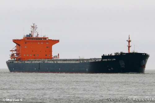
Vessel 414498000 IMO: 9620322, MMSI: 414498000
UTC, 40.26596, 121.71086, course: 35, speed: 0.2
UTC, 40.26547, 121.71133, course: 33, speed: 0.1
2026-01-19 01:40:10 UTC, 40.26568, 121.71046, course: 33, speed: 0.1
Live AIS position:
UTC. 19 nm W of Bayuquan),
updated 2026-01-19 01:40:10 UTC.
Find the position of the vessel 414498000 on the map. The latter are known coordinates and path.
marine traffic ship tracker show on live map
The current position of vessel 414498000 is 40.26568 lat / 121.71046 lng. Updated: 2026-01-19 01:40:10 UTCDetails:
Last coordinates of the vessel:
UTC, 40.26561, 121.71157, course: 23, speed: 0.2UTC, 40.26596, 121.71086, course: 35, speed: 0.2
UTC, 40.26547, 121.71133, course: 33, speed: 0.1
2026-01-19 01:40:10 UTC, 40.26568, 121.71046, course: 33, speed: 0.1