 vesseltracker.com
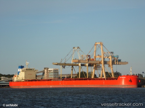
Live AIS position:
44.16968° N, 156.24126° W UTC. 269 nm S of Krustetten),
updated 2025-11-20 03:24:24 UTC.
Find the position of the vessel W Smash on the map. The latter are known coordinates and path.
marine traffic ship tracker show on live map
The current position of vessel W Smash is 44.16968 lat / -156.24126 lng. Updated: 2025-11-20 03:24:24 UTCDetails:
Last coordinates of the vessel:
UTC, 43.97766, -156.88649, course: 70, speed: 11.8UTC, 44.04290, -156.66072, course: 66, speed: 11.3
UTC, 44.10833, -156.44501, course: -1, speed: 11
2025-11-20 03:24:24 UTC, 44.16968, -156.24126, course: 69, speed: 11.5