 vesseltracker.com
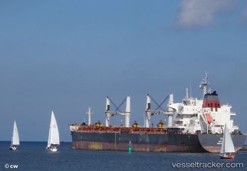
Vessel Eco IMO: 9626900, MMSI: 538005058 Bulk Carrier
UTC, 23.69223, -82.06046, course: 268, speed: 10.8
UTC, 23.69192, -82.22702, course: 272, speed: 10.8
2026-01-17 22:22:39 UTC, 23.70867, -82.54071, course: 274, speed: 11
Live AIS position:
UTC. 36 nm N of Miramar),
updated 2026-01-17 22:22:39 UTC.
Find the position of the vessel Eco on the map. The latter are known coordinates and path.
marine traffic ship tracker show on live map
The current position of vessel Eco is 23.70867 lat / -82.54071 lng. Updated: 2026-01-17 22:22:39 UTCCurrently sailing under the flag of Marshall Is
Eco built in 2013 year
Deadweight:
63490 tDetails:
Last coordinates of the vessel:
UTC, 23.70617, -81.85846, course: 261, speed: 11UTC, 23.69223, -82.06046, course: 268, speed: 10.8
UTC, 23.69192, -82.22702, course: 272, speed: 10.8
2026-01-17 22:22:39 UTC, 23.70867, -82.54071, course: 274, speed: 11