 vesseltracker.com
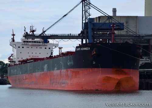
Find the position of the vessel Cape Kennedy on the map. The latter are known coordinates and path.
marine traffic ship tracker show on live map
The current position of vessel Cape Kennedy is 43.330446666667 lat / -165.813385 lng. Updated: 2025-09-12 23:06:39 UTCDetails:
Last coordinates of the vessel:
UTC, 43.412636666667, -165.124745, course: 280, speed: 9.5UTC, 43.356571666667, -165.69602833333, course: 251, speed: 9
UTC, 43.356571666667, -165.69602833333, course: 251, speed: 9
2025-09-12 23:06:39 UTC, 43.330446666667, -165.813385, course: 249, speed: 9.1