 vesseltracker.com
Find the position of the vessel MORANDI on the map. The latter are known coordinates and path.
marine traffic ship tracker show on live map
The current position of vessel MORANDI is 1.32608 lat / 64.2274 lng. Updated: 2025-02-11 18:54:15 UTCCurrently sailing under the flag of Liberia
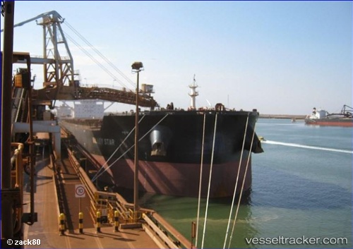
MORANDI built in 2013 year
Deadweight:
205123 tDetails:
Last coordinates of the vessel:
2025-02-11 18:54:15 UTC, 1.32608, 64.2274, course: 0, speed: 3.2