 vesseltracker.com
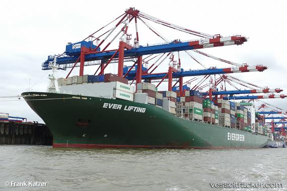
Vessel Ever Lifting IMO: 9629122, MMSI: 235110737 Container Ship
UTC, 1.81681, 104.86853, course: 21, speed: 15.9
UTC, 2.24597, 104.94368, course: 0, speed: 15.9
2026-01-16 16:17:04 UTC, 2.49738, 104.96464, course: 16, speed: 16.2
Live AIS position:
UTC. 84 nm E of Kampung Jawa),
updated 2026-01-16 16:17:04 UTC.
Find the position of the vessel Ever Lifting on the map. The latter are known coordinates and path.
marine traffic ship tracker show on live map
The current position of vessel Ever Lifting is 2.49738 lat / 104.96464 lng. Updated: 2026-01-16 16:17:04 UTCCurrently sailing under the flag of United Kingdom
Details:
Last coordinates of the vessel:
UTC, 1.64771, 104.75777, course: 38, speed: 16.4UTC, 1.81681, 104.86853, course: 21, speed: 15.9
UTC, 2.24597, 104.94368, course: 0, speed: 15.9
2026-01-16 16:17:04 UTC, 2.49738, 104.96464, course: 16, speed: 16.2