 vesseltracker.com
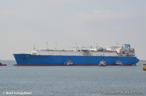
Find the position of the vessel PERLE on the map. The latter are known coordinates and path.
marine traffic ship tracker show on live map
The current position of vessel PERLE is 1.56416 lat / 104.76545 lng. Updated: 2025-10-27 06:41:37 UTCCurrently sailing under the flag of Comoros
PERLE built in 0 year
Deadweight:
0 tDetails:
Last coordinates of the vessel:
UTC, 1.55621, 104.75195, course: 159, speed: 0.9UTC, 1.56416, 104.76545, course: 176, speed: 2.8
UTC, 1.56416, 104.76545, course: 176, speed: 2.8
2025-10-27 06:41:37 UTC, 1.56416, 104.76545, course: 176, speed: 2.8
The ship also appears on the maps: