 vesseltracker.com
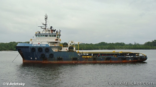
Vessel Foster Tide IMO: 9631591, MMSI: 577051000 Offshore Tug Supply Ship
Live AIS position:
UTC. Near Pointe Noire),
updated 2023-01-10 19:34:36 UTC.
Find the position of the vessel Foster Tide on the map. The latter are known coordinates and path.
marine traffic ship tracker show on live map
The current position of vessel Foster Tide is -4.78401 lat / 11.84982 lng. Updated: 2023-01-10 19:34:36 UTCDetails:
Last coordinates of the vessel:
2023-01-10 19:34:36 UTC, -4.78401, 11.84982, course: 196, speed: 0