 vesseltracker.com
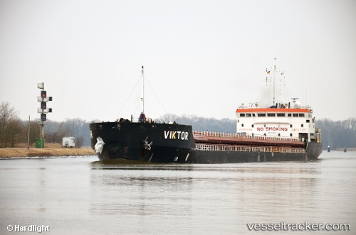
Vessel TANARO RIVER IMO: 9631929, MMSI: 352980765 General Cargo Ship
UTC, 40.70895, 27.72190, course: 84, speed: 6.8
UTC, 40.71500, 28.03167, course: -1, speed: 6
2026-01-16 19:27:40 UTC, 40.71500, 28.03167, course: -1, speed: 6
Live AIS position:
UTC. 15 nm S of Marmara Ereglisi),
updated 2026-01-16 19:27:40 UTC.
Find the position of the vessel TANARO RIVER on the map. The latter are known coordinates and path.
marine traffic ship tracker show on live map
The current position of vessel TANARO RIVER is 40.71500 lat / 28.03167 lng. Updated: 2026-01-16 19:27:40 UTCCurrently sailing under the flag of Panama
TANARO RIVER built in 2012 year
Deadweight:
7632 tDetails:
Last coordinates of the vessel:
UTC, 40.70895, 27.72190, course: 84, speed: 6.8UTC, 40.70895, 27.72190, course: 84, speed: 6.8
UTC, 40.71500, 28.03167, course: -1, speed: 6
2026-01-16 19:27:40 UTC, 40.71500, 28.03167, course: -1, speed: 6