 vesseltracker.com
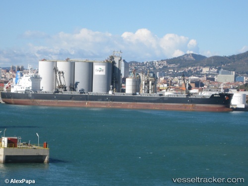
Vessel Danhil IMO: 9632959, MMSI: 636015908 Bulk Carrier
UTC, 31.11544, -22.10255, course: 260, speed: 10.9
UTC, 31.04612, -22.44982, course: 261, speed: 11.5
2026-01-17 02:47:00 UTC, 31.00920, -22.62015, course: 258, speed: 11.3
Live AIS position:
UTC. 280 nm NW of Tijarafe),
updated 2026-01-17 02:47:00 UTC.
Find the position of the vessel Danhil on the map. The latter are known coordinates and path.
marine traffic ship tracker show on live map
The current position of vessel Danhil is 31.00920 lat / -22.62015 lng. Updated: 2026-01-17 02:47:00 UTCCurrently sailing under the flag of Liberia
Danhil built in 2012 year
Deadweight:
81354 tDetails:
Last coordinates of the vessel:
UTC, 31.14291, -21.96663, course: 260, speed: 10.8UTC, 31.11544, -22.10255, course: 260, speed: 10.9
UTC, 31.04612, -22.44982, course: 261, speed: 11.5
2026-01-17 02:47:00 UTC, 31.00920, -22.62015, course: 258, speed: 11.3