 vesseltracker.com
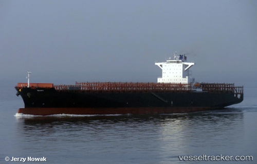
Vessel Mary IMO: 9635664, MMSI: 538004911 Container Ship
UTC, 27.46500, -73.30333, course: -1, speed: 10
UTC, 27.52833, -73.14333, course: -1, speed: 11
2026-01-17 00:54:45 UTC, 27.65167, -72.85500, course: -1, speed: 11
Live AIS position:
UTC. 230 nm E of Marsh Harbour),
updated 2026-01-17 00:54:45 UTC.
Find the position of the vessel Mary on the map. The latter are known coordinates and path.
marine traffic ship tracker show on live map
The current position of vessel Mary is 27.65167 lat / -72.85500 lng. Updated: 2026-01-17 00:54:45 UTCCurrently sailing under the flag of Marshall Is
Mary built in 2013 year
Deadweight:
80274 tDetails:
Last coordinates of the vessel:
UTC, 27.44333, -73.35833, course: -1, speed: 10UTC, 27.46500, -73.30333, course: -1, speed: 10
UTC, 27.52833, -73.14333, course: -1, speed: 11
2026-01-17 00:54:45 UTC, 27.65167, -72.85500, course: -1, speed: 11