 vesseltracker.com
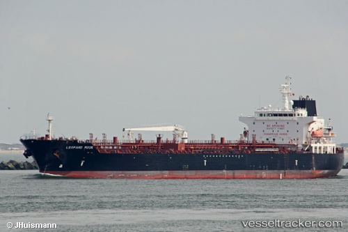
Vessel '247434700' IMO: 9635755, MMSI: 247434700
UTC, 39.95328, 0.02117, course: 25, speed: 0
UTC, 39.95326, 0.02117, course: 25, speed: 0
2026-01-18 02:49:45 UTC, 39.95326, 0.02120, course: 25, speed: 0
Live AIS position:
UTC. Near El Grao),
updated 2026-01-18 02:49:45 UTC.
Find the position of the vessel '247434700' on the map. The latter are known coordinates and path.
marine traffic ship tracker show on live map
The current position of vessel '247434700' is 39.95326 lat / 0.02120 lng. Updated: 2026-01-18 02:49:45 UTCDetails:
Last coordinates of the vessel:
UTC, 39.95328, 0.02117, course: 25, speed: 0UTC, 39.95328, 0.02117, course: 25, speed: 0
UTC, 39.95326, 0.02117, course: 25, speed: 0
2026-01-18 02:49:45 UTC, 39.95326, 0.02120, course: 25, speed: 0