 vesseltracker.com
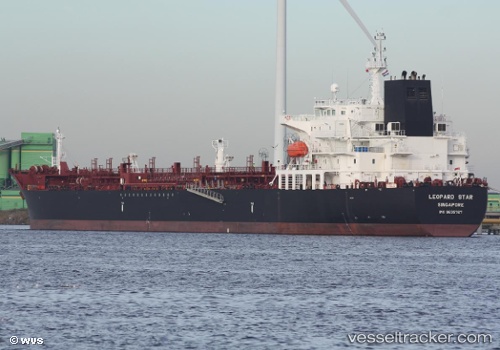
Live AIS position:
18.75127° S, 38.09825° W UTC. 94 nm E of Conceicao da Barra),
updated 2025-11-24 00:57:52 UTC.
Find the position of the vessel Elandra Star on the map. The latter are known coordinates and path.
marine traffic ship tracker show on live map
The current position of vessel Elandra Star is -18.75127 lat / -38.09825 lng. Updated: 2025-11-24 00:57:52 UTCDetails:
Last coordinates of the vessel:
UTC, -18.15576, -37.80631, course: 203, speed: 11.9UTC, -18.38042, -37.89495, course: 202, speed: 11.7
UTC, -18.64473, -38.03257, course: 210, speed: 11.6
2025-11-24 00:57:52 UTC, -18.75127, -38.09825, course: 212, speed: 11.6