 vesseltracker.com
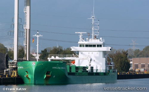
Vessel Arklow Beach IMO: 9638783, MMSI: 244820165 General Cargo Ship
UTC, 53.51749, 4.86224, course: 247, speed: 10.6
UTC, 53.44398, 4.60150, course: 206, speed: 11.3
2026-01-16 17:37:35 UTC, 53.30822, 4.49868, course: 206, speed: 12.2
Live AIS position:
UTC. Near Hijum),
updated 2026-01-16 17:37:35 UTC.
Find the position of the vessel Arklow Beach on the map. The latter are known coordinates and path.
marine traffic ship tracker show on live map
The current position of vessel Arklow Beach is 53.30822 lat / 4.49868 lng. Updated: 2026-01-16 17:37:35 UTCCurrently sailing under the flag of Netherlands
Arklow Beach built in 2014 year
Deadweight:
8400 tDetails:
Last coordinates of the vessel:
UTC, 53.55904, 5.03726, course: 247, speed: 11UTC, 53.51749, 4.86224, course: 247, speed: 10.6
UTC, 53.44398, 4.60150, course: 206, speed: 11.3
2026-01-16 17:37:35 UTC, 53.30822, 4.49868, course: 206, speed: 12.2